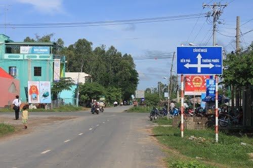
Country Vietnam Capital Thường Thới Tiền Area 326 km² Local time Saturday 11:54 PM | Region Mekong Delta Time zone UTC + 7 (UTC+7) Province Đồng Tháp Province | |
 | ||
Weather 27°C, Wind SE at 8 km/h, 82% Humidity | ||
Hồng Ngự is a rural district of Đồng Tháp Province in the Mekong Delta region of Vietnam. As of 2003 the district had a population of 201,886 growing to 211,000 in 2004. The district covers an area of 326km². The district capital lies at Hồng Ngự.
Contents
Map of H%E1%BB%93ng Ng%E1%BB%B1, %C4%90%E1%BB%93ng Th%C3%A1p Province, Vietnam
Divisions
The district is divided into communes:
- Phú Thuận A
- Phú Thuận B
- Long Thuận
- Long Khánh A
- Long Khánh B
- An Bình A
- An Bình B
- Tân Hội
- Bình Thạnh
- Thường Lạc
- Thường Thới Hậu A
- Thường Thới Hậu B
- Thường Phước 1
- Thường Phước 2
- Thường Thới Tiền
References
Hồng Ngự District Wikipedia(Text) CC BY-SA
