
Country Vietnam Time zone ICT (UTC+7) Area 1,608 km² Capital Vi Thanh city | Region Mekong Delta Website www.haugiang.gov.vn Population 773,800 (1 Jul 2013) ISO 3166 code Vietnam | |
 | ||
Area codes 293 (from 15 Apr 2017)
71 (until 14 May 2017) Points of interest Kênh Xáng Xà No, Khu di tích Chiến Thắng Tầ, Khu Du Lịch Sinh Thái Phú, Đền Thờ Bác Hồ Xã Lương Tâ | ||
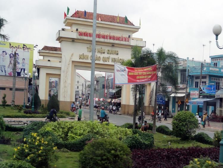
Hậu Giang ( listen) is a province of Vietnam, in the Mekong Delta region in the southern part of that country. Vị Thanh is the capital.
Contents
Map of Hau Giang, Vietnam
Until 1975, the province of Hậu Giang included the city of Cần Thơ; that city was the capital of the province. In 1975, the province was renamed Cần Thơ Province, with the city of Cần Thơ still the capital. In late 2004, Cần Thơ and some surrounding cities became Cần Thơ Municipality (Thành Phố Cần Thơ). The remainder of Cần Thơ Province became Hậu Giang Province.
Hậu Giang has an industrial zone of 880,000 m² (217 acres). There are roads, National Highway 61 (which leads to National Highway 1 which leads to Cần Thơ Municipality on the Hau River which leads to Ho Chi Minh City), and water connections by canal and river to the Hau River.
Administrative divisions
Hậu Giang is subdivided into 7 district-level sub-divisions:
They are further subdivided into 12 commune-level towns (or townships), 54 communes, and 8 wards.