
Country Vietnam Capital Khe Sanh Province Quảng Trị Province | Region North Central Coast Time zone UTC + 7 (UTC+7) Local time Saturday 11:36 PM | |
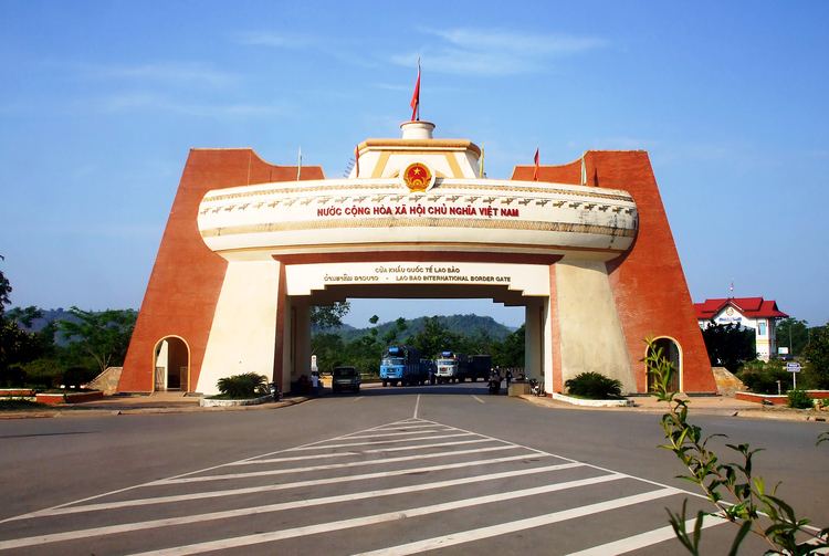 | ||
Points of interest Lao Bảo Prison, Di tích sân bay Tà Cơn, Khu Bảo tồn Thiên nhiên bắc Hướng Hóa | ||
Hướng Hóa ( listen) is a rural district of Quảng Trị Province in the North Central Coast region of Vietnam. As of 2003 the district had a population of 69,003. The district covers an area of 1,145 km². The district capital lies at Khe Sanh. The population is made up of ethnic Vietnamese as well as Bru people and Ta Oi people.
Contents
Map of H%C6%B0%C6%A1ng H%C3%B3a, Qu%E1%BA%A3ng Tr%E1%BB%8B Province, Vietnam
It was the site of the Battle of Khe Sanh in early-1968, one of the bloodiest engagements of the Vietnam War. Khe Sanh was the location of a US Marine base, so it was often attacked by Vietcong guerrillas as well as North Vietnamese regulars
The district is mountainous and rugged, and is around 20 km to the east of the border with Laos. It is 65 km to the west of the town of Đông Hà.
It consists of two towns, Khe Sanh the district seat, and Lao Bảo.
It has 20 communes. These include Xy, A Túc, A Dơi, A Xing, Thanh, Thuận, Pa Tầng, Hướng Lộc. Other districts are designated as New Economic Zones, located on National Road 9. There are five of these, Tân Hợp, Tân Liên, Tân Lập, Tân Long and Tân Thành. Six communes lie on where the Ho Chi Minh trail once branched into the area near the DMZ. These are Hướng Tân, Hướng Linh, Hướng Phùng, Hướng Sơn, Hướng Việt and Hướng Lập. To the southeast of the district is the commune Húc.