Country Vietnam Capital Phố Châu Area 1,101 km² Local time Saturday 11:35 PM | Region North Central Coast Time zone UTC + 7 (UTC+7) Province Ha Tinh Province | |
 | ||
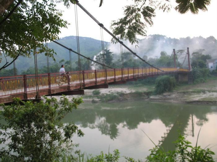
Hương Sơn is a district in the North Central Coast of Vietnam. It is part of Hà Tĩnh Province.
Contents
Map of H%C6%B0%C6%A1ng S%C6%A1n, Ha Tinh Province, Vietnam
Geography
Hà Tĩnh Province is located in the Northern part of central Vietnam, about 340 km south of Hanoi, facing Nghệ An Province in the north, Quảng Bình Province in the south, Laos in the west, and Đức Thọ District in the east.
Administration
The district consists of 2 communes and city:
- Phố Châu: a town (district capital)
- Tây Sơn: a town in the west of district
- Sơn Kim
As of 2003 the district had a population of 125,308. The district covers an area of 1101 km². The district capital lies at Phố Châu.
References
Hương Sơn District Wikipedia(Text) CC BY-SA
