
Country United States GNIS feature ID 365072 Area 3.763 km² | Area code(s) 808 Elevation 7 m Population 431 (2010) | |
 | ||
Time zone Hawaii-Aleutian (UTC-10) | ||
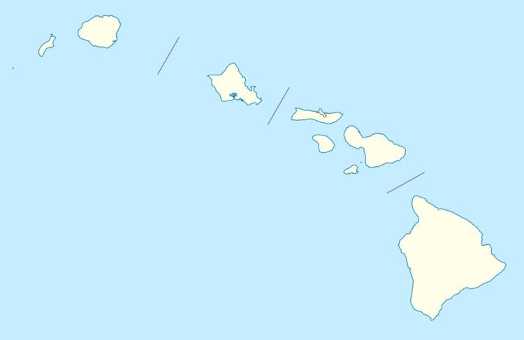
Hāʻena is an unincorporated community and census-designated place on the island of Kauai in Kauai County, Hawaii, United States. Its population was 431 as of the 2010 census. The community is located on the north side of the island along Hawaii Route 560.
Geography
Hāʻena is located at 22.2213479°N 159.5612936°W / 22.2213479; -159.5612936. According to the U.S. Census Bureau, the community has an area of 1.453 square miles (3.76 km2), all of it land.
References
Hāʻena, Kauai County, Hawaii Wikipedia(Text) CC BY-SA