Prominence 868 m | Elevation 868 m | |
 | ||
Isolation 5.21 kilometres (3.24 mi) Similar Brøknipa, Liatårnet, Mehammarsåta, Tveitakvitingen, Fuglafjellet | ||
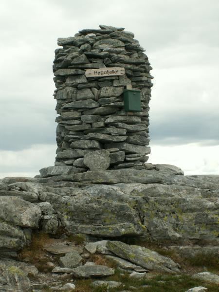
Høgafjellet is a mountain on the island of Osterøy in Hordaland county, Norway. Høgafjellet sits on the border between the municipalities of Osterøy and Vaksdal, about 8 kilometres (5.0 mi) east of the village of Fotlandsvåg and about 2 kilometres (1.2 mi) west of the Veafjorden. The 868-metre (2,848 ft) tall mountain is the highest mountain on the island and in all of Osterøy municipality.
Map of H%C3%B8gafjellet, 5727 Stamnes, Norway
References
Høgafjellet Wikipedia(Text) CC BY-SA
