
Source elevation 1.1 m | Length 9 km | |
 | ||
Main source Umbrückler Alp above Innsbruck1,100 m (3,600 ft) River mouth Inn River near Mariahilf | ||
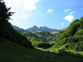
The Höttinger Bach is a shortly 4 km long left tributary of the Inn in Innsbruck, Tyrol, Austria.
It originates on 1100 metres above sea level below the Umbrückler alp and runs straight in southern direction to the city district Mariahilf where it merges with theInn. In the course of years it created a small ravine called "Höttinger ditch". The overground part is visible until Kirschentalgasse. The Creek lies in full on Innsbruck city area.
Near its origin the city erected a drinking water reservoir, which mainly supplies the "Hungerburg"-region additionally. Its excellent A grade quality is kept by the creek in the whole course.
The small creek may look like a harmless water but can quickly get flooded due to high water or strong rain. Hötting had to suffer from this already several times.