
Admin. region Karlsruhe Time zone CET/CEST (UTC+1/+2) Area 30.47 km² Local time Saturday 3:30 PM Dialling code 06283 | Elevation 377 m (1,237 ft) Postal codes 74746 Population 3,255 (31 Dec 2008) Postal code 74746 | |
 | ||
Weather 8°C, Wind W at 34 km/h, 89% Humidity | ||
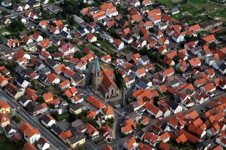
Höpfingen, sometimes spelled Hoepfingen, is a municipality in the district of Neckar-Odenwald-Kreis, in Baden-Württemberg, Germany.
Contents
Map of 74746 H%C3%B6pfingen, Germany
Administration
The municipality consists of two subdivisions:
Geography
The district lies on the southeastern slope of the Odenwald mountain range. Part is included with the Neckartal-Odenwald Nature Park, one of the largest national parks in Baden-Württemberg.
Höpfingen, in the northern part of the municipality, has forests, fields and meadows. To the south, the town of Waldstetten sits in a valley with several streams running through.
References
Höpfingen Wikipedia(Text) CC BY-SA