
Traversed by Staatsstraße 2180 | Elevation 683 m | |
 | ||
Location | ||
The Höllpass is a 683 m high mountain pass in the northern part of the Fichtel Mountains in Bavaria, Germany.
Map of H%C3%B6llpass, 95493 Wei%C3%9Fenstadter Forst-S%C3%BCd, Germany
The Höllpass is located in the northwest of the horseshoe-shaped Fichtelgebirge range, the horseshoe being open to the east. It lies between the ridges of the Waldstein to the north and the Schneeberg–Ochsenkopf Massif to the south, which were formed almost at right angles to the tectonic fault lines in the Fichtelgebirge.
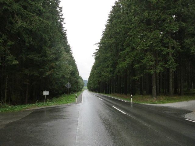
The road running over the Höllpass – state road (Staatsstraße) number 2180 – climbs about 120 metres (390 ft) from the Kornbach valley near Gefrees to Torfmoorhölle in the borough of Weißenstadt.
References
Höllpass Wikipedia(Text) CC BY-SA