
Admin. region Middle Franconia Elevation 273 m (896 ft) Area 70.9 km² Local time Saturday 3:01 PM Dialling code 09193 | Time zone CET/CEST (UTC+1/+2) Population 13,369 (31 Dec 2008) Postal code 91315 Administrative region Middle Franconia | |
 | ||
Weather 8°C, Wind W at 34 km/h, 83% Humidity | ||
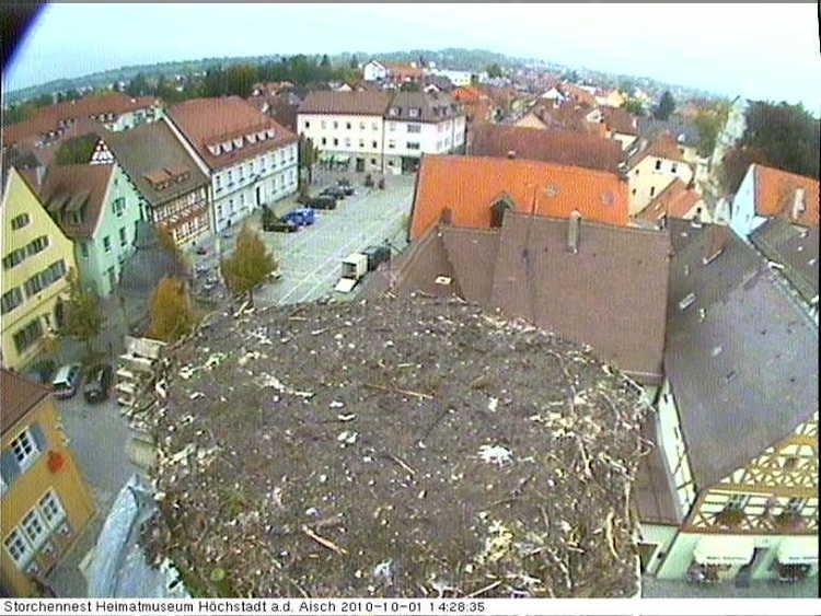
Höchstadt an der Aisch, commonly known as Höchstadt, is a town in the Erlangen-Höchstadt district, in Bavaria, Germany.
Contents
Map of 91315 H%C3%B6chstadt, Germany
Geography
Höchstadt is situated on the river Aisch, 18 km northwest of Erlangen and 22 km south of Bamberg. Originally it was the capital of the Höchstadt district, but then it became part of the new Erlangen-Höchstadt district.
Division of the town
The town consists of 23 districts:
Food
Carp is a very important food, but only in the months with an "r" (September, October, November, December, January, February, March, April). There are various carp dishes: e.g., "blue carp", "baked carp" and "pepper carp". Carp eaten there is termed "Aischgründer Karpfen".
Culture
There is an events centre (converted from a former shoe factory) that includes a music school and a library; there is an evening event most days.