Admin. region Unterfranken Elevation 280 m (920 ft) Area 7.55 km² Population 9,437 (31 Dec 2008) Dialling code 0931 | Time zone CET/CEST (UTC+1/+2) Postal code 97204 Local time Saturday 3:00 PM Administrative region Lower Franconia | |
 | ||
Weather 9°C, Wind W at 35 km/h, 84% Humidity | ||
Höchberg is a municipality in the district of Würzburg in Bavaria, Germany. Höchberg borders, in the east, directly on the city of Würzburg. Höchberg consists of two main urban areas: Altort and Hexenbruch. Residential construction areas have been added in recent years, for example "Mehle" and " Mehle II".
Contents
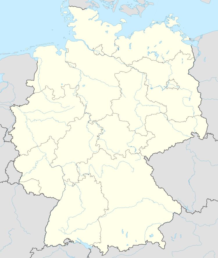
Map of H%C3%B6chberg, Germany
History
The earliest recorded official reference to Höchberg dates from 748.
Jewish families resided in Höchberg at least since the late 1600s. They established a Jewish cemetery and erected a synagogue in 1721, which was plundered in the November pogrom in 1938 by SA members. Since 1951, the building has served as a Protestant church. Today, a plaque at the church entry and a monument at the Jewish cemetery commemorate these facts.
References
Höchberg Wikipedia(Text) CC BY-SA
