
Area rank 297 in Norway Area 258 km² Local time Saturday 11:38 AM | Demonym(s) Håbu Population 18,591 (2016) | |
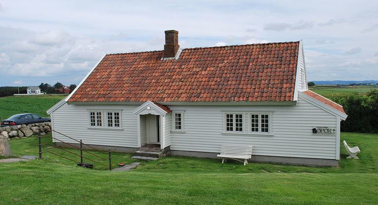 | ||
Weather 4°C, Wind NW at 32 km/h, 78% Humidity Points of interest Hå Old Vicarage, Kvassheim Lighthouse, Jærmuseet, HKB 18/978 Sirevaag, Brusand Strand | ||
Hå is a municipality in Rogaland county, Norway. It is the southernmost municipality in the traditional district of Jæren. The administrative centre of the municipality is the village of Varhaug. Other villages in Hå include Brusand, Hæen, Nærbø, Obrestad, Ogna, Sirevåg, and Vigrestad.
Contents
- Map of HC3A5 Norway
- General information
- Name
- Coat of arms
- Churches
- Government
- Municipal council
- Geography
- Transportation
- References
Map of H%C3%A5, Norway
General information
The parish of Haa was established as a municipality on 1 January 1838 (see formannskapsdistrikt). In 1894, the municipality of Haa was dissolved and divided into two new municipalities: Nærbø (population: 1,806) and Varhaug (population: 1,801). In the 1960s, there were many municipal mergers due to the work of the Schei Committee. On 1 January 1964, the municipality of Hå was recreated by merging of the neighboring municipalities of Nærbø (population: 3,926), Varhaug (population: 3,454), and Ogna (population: 1,470). In local politics, the divisions between the three previous municipalities are very visible.
Name
The municipality is named after the old Hå farm (Old Norse: Háar) where the local church priest's parsonage was located. The meaning of the name is unknown. The river running past this farm is similarly named the Hååna, meaning the "Hå river". It is not known if the river is named after the farm or vice versa.
Coat-of-arms
The coat-of-arms is from modern times; they were granted on 5 July 1991. The arms are black with a silver/white winch in the centre. It is a special type of winch that has historically been used in this area to remove stones from the many farm fields. The arms were chosen to symbolize the hard living on the rocky soils of the municipality.
Churches
The Church of Norway has three parishes (sokn) within the municipality of Hå. It is part of the Jæren deanery in the Diocese of Stavanger.
Government
All municipalities in Norway, including Hå, are responsible for primary education (through 10th grade), outpatient health services, senior citizen services, unemployment and other social services, zoning, economic development, and municipal roads. The municipality is governed by a municipal council of elected representatives, which in turn elect a mayor.
Municipal council
The municipal council (Kommunestyre) of Hå is made up of 33 representatives that are elected to every four years. Currently, the party breakdown is as follows:
Geography
Hå municipality is located on the southwestern shore of Norway, along the North Sea. The municipality is located mostly in the very flat, coastal Jæren district. The southeastern part of the municipality begins to get a little hilly and rocky and it marks the border of the Dalane district (located to the south and east). Much of the land in Hå is used for agriculture because of its flat landscape. The river Hååna runs through the municipality. The shoreline of the municipality is marked by the Kvassheim Lighthouse and Obrestad Lighthouse.
Transportation
The Sørlandet Line runs through the municipality, making several stops. The stations in Hå include Brusand Station, Nærbø Station, Ogna Station, Sirevåg Station, Varhaug Station, and Vigrestad Station.