
Area 21.36 km² | Local time Saturday 10:57 AM | |
 | ||
Weather 4°C, Wind SW at 8 km/h, 86% Humidity | ||
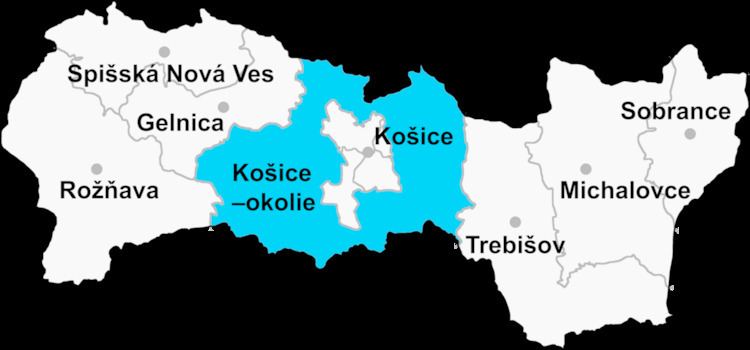
Háj is a village and municipality in Košice-okolie District in the Kosice Region of eastern Slovakia.
Contents
Map of 044 02 H%C3%A1j, Slovakia
History
In historical records the village was first mentioned in 1409.
The first mention about Háj is from 1357 and 1409. In last decades of 18th century was property of family Keglevich. In the year 1715, there were 14 lieges families.
Geography
The village lies at an altitude of 508 metres and covers an area of 21.358 km². It has a population of about 280 people.
Monuments
References
Háj, Košice-okolie District Wikipedia(Text) CC BY-SA