
Country Vietnam Capital Xuân Hoá Area 454 km² Local time Saturday 4:50 PM | Region Northeast Time zone UTC + 7 (UTC+7) Province Cao Bang Population 34,113 (2003) | |
 | ||
Weather 17°C, Wind SE at 13 km/h, 95% Humidity | ||
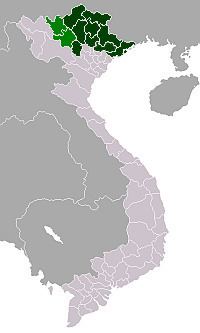
Hà Quảng is a rural district of Cao Bằng Province in the Northeast region of Vietnam.
Contents
Map of H%C3%A0 Qu%E1%BA%A3ng District, Cao Bang, Vietnam
As of 2003 the district had a population of 34,113. The district covers an area of 454 km². The district capital lies at Xuân Hoá.
Administrative divisions
Sóc Hà, Trường Hà, Kéo Yên, Lũng Nặm, Vân An, Cải Viên, Tổng Cọt, Nội Thôn, Hồng SĨ, Sĩ Hai, Mã Ba, Hạ Thôn, Phù Ngọc, Đào Ngạn, Xuân Hoà, Quý Quân, Nà Sac, Thượng Thôn, Vần Dính.
References
Hà Quảng District Wikipedia(Text) CC BY-SA