
Country Turkmenistan Local time Sunday 10:12 PM Province Balkan Region | Elevation 29 m Area code 242 | |
 | ||
Weather 11°C, Wind NE at 11 km/h, 73% Humidity | ||
Gyzyletrek (also Bayat-Khadzhi, Kyzyl-Atrek) is a town in western Turkmenistan. It is located in Balkan Province on the Atrek River bordering on Iran. The name means "Red Atrek" and may be a reference to the silt load that the Atrek River carries at that point. It is the capital of Etrek District (formerly Gyzyletrek District).
Contents
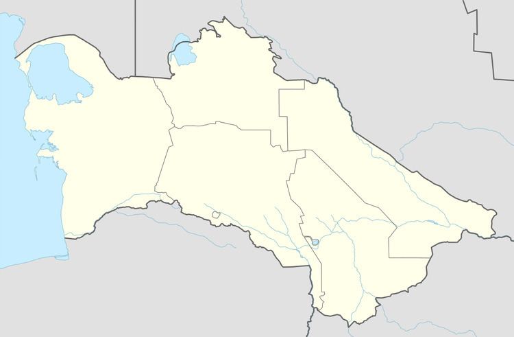
Map of Gyzyletrek, Turkmenistan
Nearby towns and villages include Agach-Arvat (4.8 km), Torshakli, Iran (6.3 km), Yasydepe (15.6 km), and Yarymtyk (19.4 km). There is no air service to Gyzyletrek, although there is an airport, Kizyl Atrek Airport, just to the south.
Climate
Gyzyletrek has a desert climate (Köppen climate classification BWk), with cool winters and hot summers. Rainfall is generally light and erratic, and is heavier in winter than in summer.
References
Gyzyletrek Wikipedia(Text) CC BY-SA