
Country Canada Census Division No. 18 Postal Code R0C 1J0 Local time Sunday 11:05 AM Area code 204 | Region Interlake Time zone CST (UTC−6) NTS Map 062O15 Province Manitoba | |
 | ||
Weather -18°C, Wind NE at 6 km/h, 65% Humidity | ||
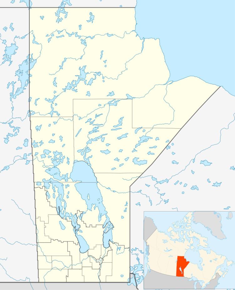
Gypsumville is a community 242 kilometres north-northwest of Winnipeg in the Interlake Region of Manitoba on the north bank of Lake St. Martin in the Rural Municipality of Grahamdale.
Contents
Map of Gypsumville, MB, Canada
There are 285 people living in and 175 housing units within the community.
It is the administrative office of the Little Saskatchewan First Nations band government.
History
The community was named Gypsumville after a post office with a same name was opened in 1905. The office was named after the gypsum deposits found in the area. Deposits were discovered in 1888 and by 1890 mining operations begun.
A shortline railway was built from Gypsumville to the shore of Lake Manitoba, where the gypsum was transloaded on to barges and shipped to a railhead on the Whitemud River at south end of the lake, near the present community of Westbourne.
In 1912 the Canadian National Railway built a rail line in to Gypsumville.
Both of the railway lines are now abandoned.