
Province Alberta | ||
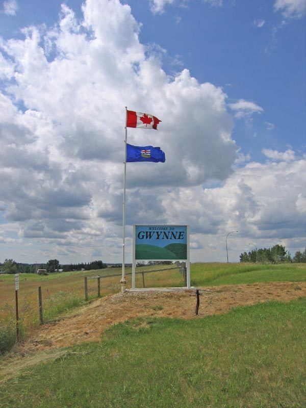 | ||
Gwynne is a hamlet in central Alberta, Canada within the County of Wetaskiwin No. 10. It is located on Highway 13, approximately 11 kilometres (6.8 mi) east of Wetaskiwin.
Contents
Map of Gwynne, AB, Canada
An early settler gave the community the maiden name of his wife.
Climate
The Köppen Climate Classification subtype for this climate is "Dfb" (Warm Summer Continental Climate).
Demographics
As a designated place in the 2016 Census of Population conducted by Statistics Canada, Gwynne recorded a population of 73 living in 31 of its 32 total private dwellings, a change of 2998830000000000000♠−17% from its 2011 population of 88. With a land area of 0.52 km2 (0.20 sq mi), it had a population density of 140.4/km2 (363.6/sq mi) in 2016.
As a designated place in the 2011 Census, Gwynne had a population of 88 living in 37 of its 39 total dwellings, a -9.3% change from its 2006 population of 97. With a land area of 0.51 km2 (0.20 sq mi), it had a population density of 172.5/km2 (447/sq mi) in 2011.