
Base elevation 1,100 m (3,609 ft) Lift system 14 Phone +33 820 20 17 40 | Top elevation 2,100 m (6,890 ft) Runs 32 | |
 | ||
Hours Open today · 9AM–5PMSunday9AM–5PMMonday9AM–5PMTuesday9AM–5PMWednesday9AM–5PMThursday9AM–5PMFriday9AM–5PMSaturday9AM–5PM Similar Superbagnères, Ax 3 Domaines, Plateau de Beille, Gourette, Mont Valier | ||
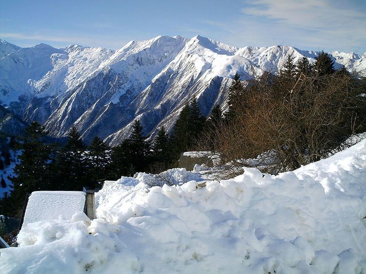
Guzet-Neige is a ski resort situated in the Haute-Ariège area of the Ariège department in the French Pyrénées. The climb to the ski station has been used three times as a stage finish in the Tour de France.
Contents
Location
Guzet is located between 1,100 m (3,600 ft) and 2,100 m (6,900 ft) in altitude, in Ariège in the heart of the Pyrenees.
The resort is divided into three areas:
The resort can be accessed from two directions: from the west through the Ustou valley and east through the Col de Latrape from Aulus-les-Bains.
Facilities
There are 33 km (21 mi) of lift served runs and 3 km (1.9 mi) of cross country trails. The resort features a snowpark.
Details of the climb
The climb starts from the village of Seix on the River Salat and shares most of its route with that to the Col de Latrape from where there is a turn-off onto the D68, 1.0 km (0.6 mi) from the summit. From here there is a further 6 km (3.7 mi) climb to the ski station. In total from Seix, the climb is 23.7 km (14.7 mi) long. Over this distance, you climb 1,010 m (3,310 ft) at an average gradient of 4.3%, although the final section averages about 8%.
Tour de France stage finishes
The climb to the ski station has been used three times as a stage finish in the Tour de France, most recently in 1995. It is ranked a first category climb.