Country Afghanistan Population 142,700 (2012) | Area 2,000 km² | |
 | ||
Guzara (Gozareh) District is situated in the center of Herat Province, Afghanistan, 10 km south of Herat. It borders Injil District to the north, Pashtun Zarghun District to the east, Adraskan District to the south and Zinda Jan District to the west. The population is 142,700 (2012). The district center Guzara (Gozareh) is on the main road Herat-Kandahar.
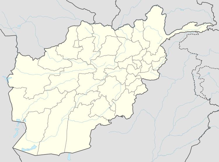
Map of Guzara, Afghanistan
References
Guzara District Wikipedia(Text) CC BY-SA
