
 | ||
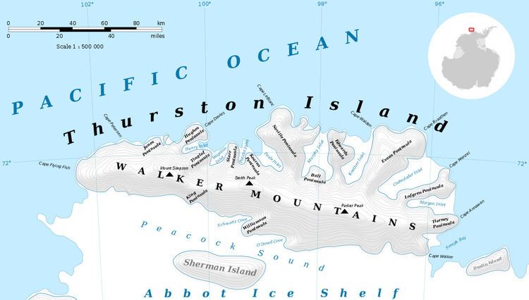
The Guy Peaks (72°9′S 98°53′W) are a cluster of peaks located 3 nautical miles (6 km) northeast of Mount Borgeson, overlooking Peale Inlet on Thurston Island, Antarctica. They were mapped from air photos made by U.S. Navy Operation Highjump in December 1946 and were named by the Advisory Committee on Antarctic Names for Arthur W. Guy, an electrical engineer at Byrd Station, 1964–65.
Contents
Map of Guy Peaks, Antarctica
Maps
References
Guy Peaks Wikipedia(Text) CC BY-SA