
Country Brazil State Pará Postal Code 68300-000 Elevation 20 m Local time Sunday 12:34 AM | Region North Time zone BST (UTC-3) Area 8,540 km² Population 29,062 (2010) | |
 | ||
Weather 24°C, Wind NE at 6 km/h, 100% Humidity | ||
Gurup antes e agora 0001
[[Category:{{{topic}}} articles needing translation from Portuguese Wikipedia]]
Contents
Map of Gurup%C3%A1 - State of Par%C3%A1, Brazil
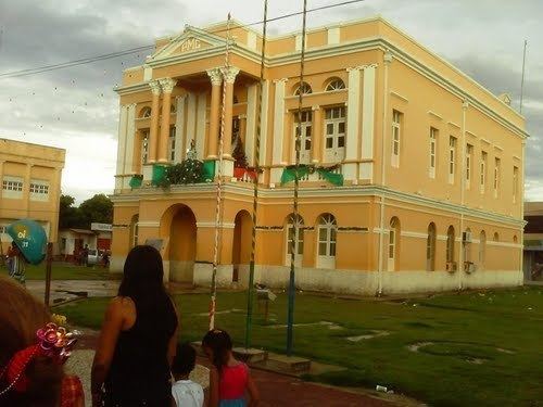
Gurupá or Santo Antonio de Gurupá is a municipality on the Amazon River in state of Pará, northern Brazil located near the world's largest river island, Marajó, 300 km upstream from the upper mouth of the river on the Atlantic coast.
The city is a center for palm heart extraction and commerce. It is a municipal seat and major river boat port.
History
Gurupá is derived from an indigenous language word or sound for the warble of a pica-pau bird, a species of woodpecker.
Gurupá was founded in 1609 as a Dutch trading post that they called Mariocai, after the indigenous peoples living there. It was the third of three trading posts established by the Dutch along the lower reaches of the Amazon and Xingu Rivers. The Dutch traded for dye, timber and mother-of-pearl. They also cultivated sugarcane along the Xingu river, to the south of Gurupa. It was subsequently conquered and occupied by the Portuguese in 1623, where they built the fort of Santo Antonio de Gurupá (St. Anthony of Gurupá). It became the royal captaincy of Gurupá in 1633 in recognition of its strategic military and trading position. It was absorbed into Grao-Pará in 1756.