
Vehicle registration TS Elevation 209 m Population 3,061 (2011) | Time zone IST (UTC+5:30) Website telangana.gov.in Area 11.54 km² Local time Sunday 8:27 AM | |
 | ||
Weather 26°C, Wind NW at 10 km/h, 29% Humidity | ||
Gurrampodeis a village in the Nalgonda district of the Indian state of Telangana. It is located in Gurrampode mandal of Devarakonda division.
Contents
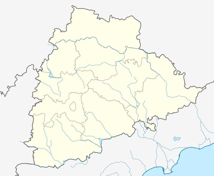
Map of Gurrampode, Telangana 508256
Geography
Gurrampod is located at 16.8667°N 79.1167°E / 16.8667; 79.1167. It has an average elevation of 209 metres (688 ft).
References
Gurrampode Wikipedia(Text) CC BY-SA