
Postcode(s) 2398 Local time Sunday 1:45 PM | Postal code 2398 | |
 | ||
Weather 32°C, Wind N at 21 km/h, 22% Humidity | ||
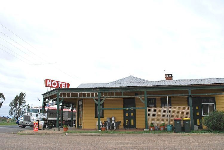
Gurley is a small town in the northwest of New South Wales, Australia between Narrabri and Moree. The Newell Highway and the North-West railway line pass through the township. A now-closed railway station opened in 1897.
Map of Gurley NSW 2398, Australia
Gurley Siding Post Office opened on 16 March 1898 and was renamed Gurley in 1917.
References
Gurley, New South Wales Wikipedia(Text) CC BY-SA