
Department Bas-Rhin Canton Reichshoffen Area 6.3 km² | Population (2006) 711 Local time Sunday 1:46 AM | |
 | ||
Weather 6°C, Wind NE at 11 km/h, 65% Humidity | ||
Gunstett is a commune in the Bas-Rhin department in Grand Est in north-eastern France.
Contents
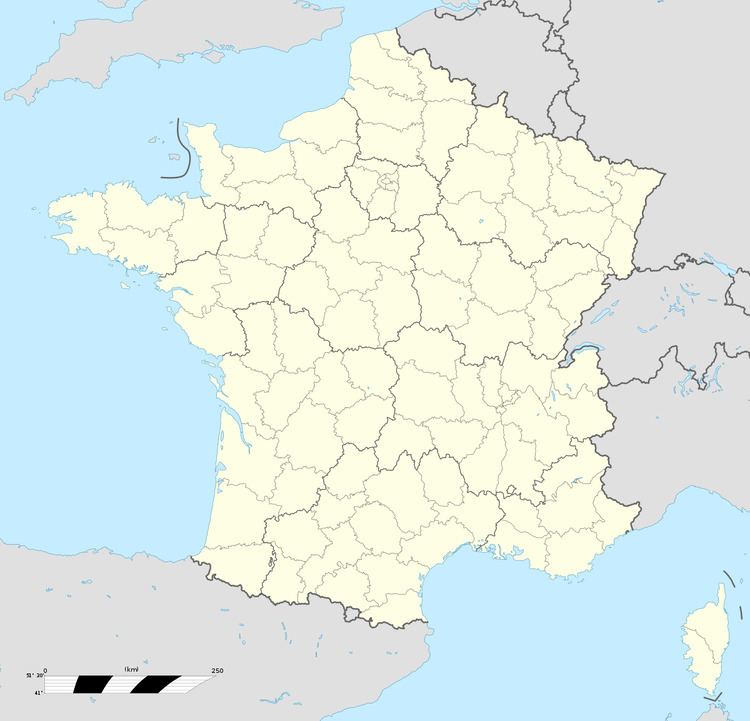
Map of 67360 Gunstett, France
Geography
The village is positioned slightly to the east of the Departmental Road RD27, a short distance north of Haguenau. The surrounding countryside is dominated by arable agriculture: the soil type is alluvial, reflecting the proximity of the River Rhine to the east.
Neighbouring villages are Oberdorf to the north, Biblisheim to the south-east, Durrenbach to the south, Morsbronn-les-Bains to the south-south-west and the formerly independent commune of Eberbach-Woerth to the West.
Points of interest
References
Gunstett Wikipedia(Text) CC BY-SA