
PIN 577 526 Local time Sunday 4:34 AM | Time zone IST (UTC+5:30) Telephone code 08191 Area code 08191 ISO 3166 code ISO 3166-2:IN | |
 | ||
Weather 19°C, Wind W at 3 km/h, 71% Humidity | ||
Gunderi is a village in the southern state of Karnataka, India. It is located in the Holalkere taluk of Chitradurga district in Karnataka.
Contents
- Map of Gunderi Karnataka 577526
- Nearest districts to Gunderi
- The nearest railway station in and around Gunderi
- References
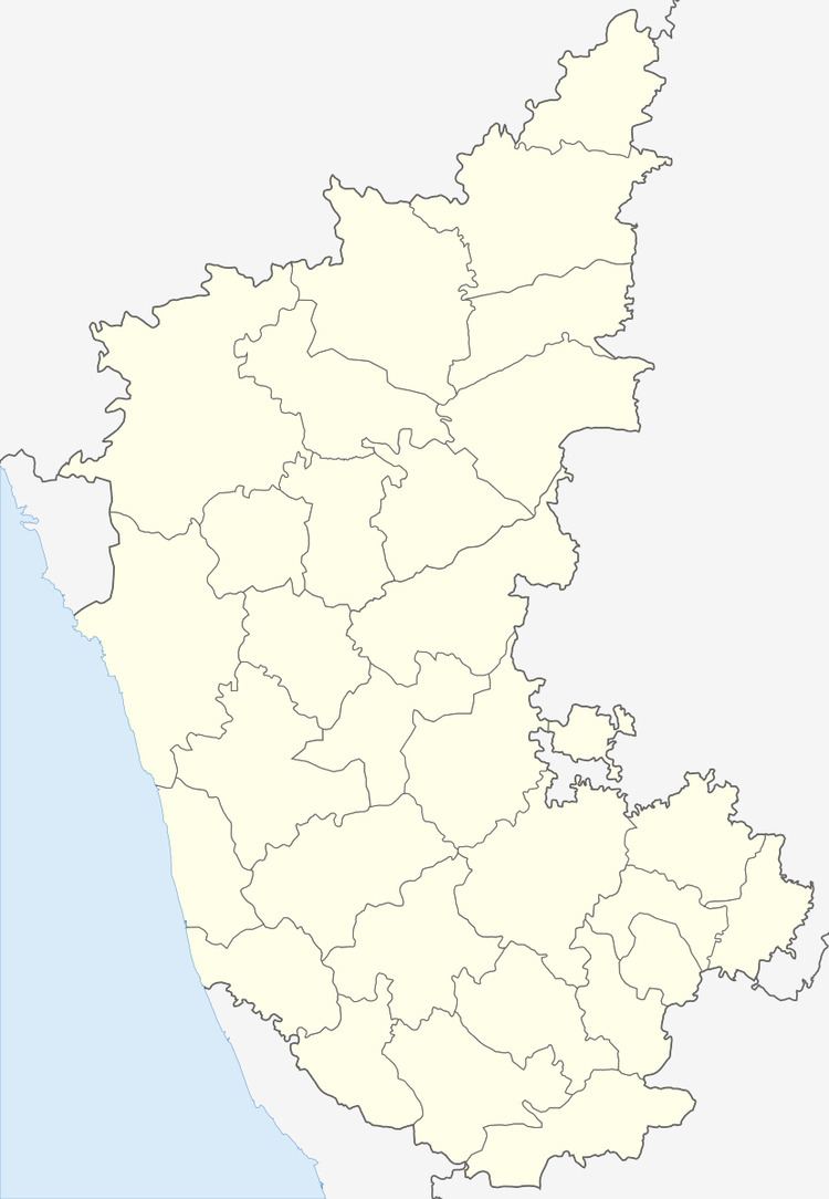
Map of Gunderi, Karnataka 577526
Nearest districts to Gunderi
Gunderi is located around 35.3 kilometer away from its district head quarter chitradurga. The other nearest district head quarters is kadapa situated at 54.8 KM distance from Gunderi . Surrounding districts from Gunderi are as follows. Davanagere ( davanagere ) district 58.2 KM. Shimoga ( shimoga ) district 65.2 KM. Hassan ( hassan ) district 110.0 KM. Chikmagalur ( chikmagalur ) district 116.5 KM.
The nearest railway station in and around Gunderi
The nearest railway station to Gunderi is Holalkere which is located in and around 6.5 kilometer distance. The following table shows other railway stations and its distance from Mamakudi. Holalkere railway station 6.5 KM. Ramgiri railway station 6.8 KM. Chikjajur Jn railway station 15.2 KM. Hosdurga Road railway station 23.6 KM. Shivani railway station 24.0 KM.