
Administrative center selo of Mekhelta Rural localities 27 Founded 22 November 1928 | Federal subject Republic of Dagestan Selsoviets 6 Area 676.2 km² | |
 | ||
Municipally incorporated as | ||
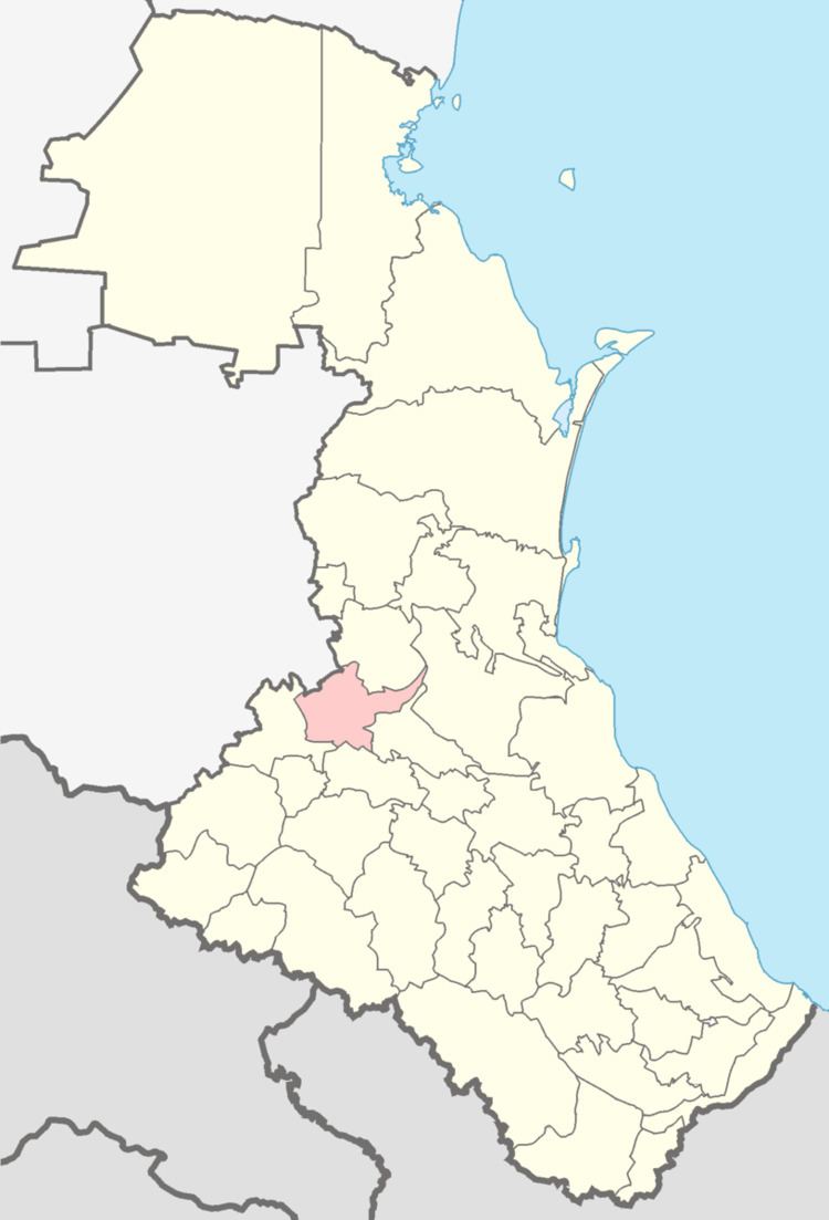
Gumbetovsky District (Russian: Гумбе́товский райо́н; Avar: Бакълъул мухъ) is an administrative and municipal district (raion), one of the forty-one in the Republic of Dagestan, Russia. It is located in the west of the republic. The area of the district is 730 square kilometers (280 sq mi). Its administrative center is the rural locality (a selo) of Mekhelta. As of the 2010 Census, the total population of the district was 22,046, with the population of Mekhelta accounting for 15.0% of that number.
Contents
Map of Gumbetovsky District, Dagestan Republic, Russia
Administrative and municipal status
Within the framework of administrative divisions, Gumbetovsky District is one of the forty-one in the Republic of Dagestan. The district is divided into six selsoviets which comprise twenty-seven rural localities. As a municipal division, the district is incorporated as Gumbetovsky Municipal District. Its six selsoviets are incorporated as fifteen rural settlements within the municipal district. The selo of Mekhelta serves as the administrative center of both the administrative and municipal district.