
Elevation 987 m | Prominence 620 m | |
 | ||
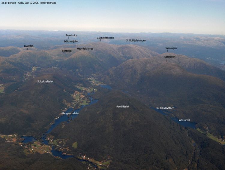
Similar Ulriken, Løvstakken, Rundemanen, Lyderhorn, Fløyen | ||
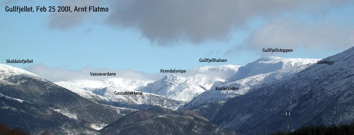
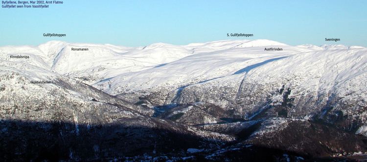
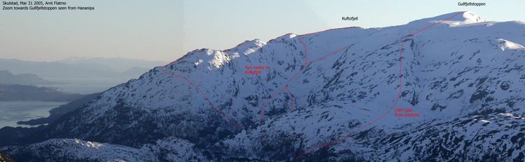
Golden mountain gullfjellet
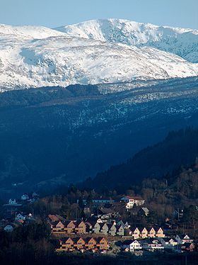
Gullfjellet (Gold Mountain) (987 meters above sea level), also called Gulfjellet, is the highest mountain in the municipality of Bergen in western Norway. It is situated on the border between Bergen and Samnanger, Hordaland. The name "Gul" is an old name for a strong wind, so the old name - Gulfjellet - means "the mountain with strong wind".
Contents
Due to its importance as a hiking attraction, and much bad weather, large and numerous cairns have been put up ("Varderekka") to guide hikers from both sides of the mountain. The watercourses on Gullfjellet supports large parts of the Bergen region with piped water.
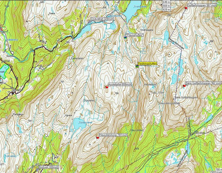
Svartavatnet is situated 400 m. to the West of the mountain.
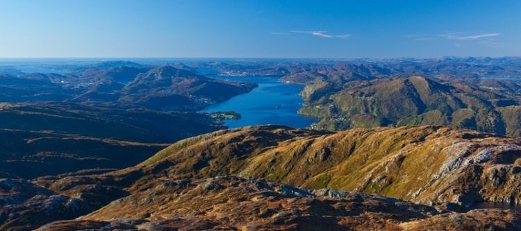
Winterseason in the mountain called gullfjellet
References
Gullfjellet Wikipedia(Text) CC BY-SA