
 | ||
Similar Gulf of Mannar, Lakshadweep, Andaman and Nicobar Islands | ||
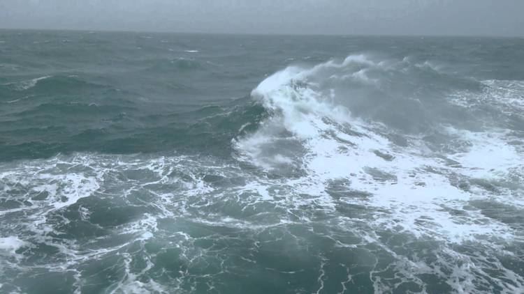
The Gulf of Kutch is an inlet of the Arabian Sea along the west coast of India, in the state of Gujarat, which is renowned for extreme daily tides.
Contents
Map of Gulf of Kutch
History
The Gulf of Kutch is referred to in the Periplus of the Erythraean Sea, a travelogue written in about 50 CE, as the Gulf of Baraca
Geography
The maximum depth of Gulf of Kutch is 402 feet (123 m).
It is a region with highest potential of tidal energy generation.
It is about 99 miles in length, and divides Kutch and the Kathiawar peninsula regions of Gujarat. The Rukmavati River empties into the Arabian Sea nearby. Gulf of Khambhat lies in south and the Great Rann of Kutch is located in north of the gulf.
Flora and fauna
The first coral garden will be set up near Mithapur in the Gulf of Kutch. The different species of corals will be set up and an underwater garden will be developed for conservation and tourism purposes. It will be developed by a joint venture of Gujarat forest department, Wildlife Trust of India and Tata Chemicals.