
Country United States FIPS code 37-28600 Elevation 82 m Local time Saturday 3:09 PM | Time zone Eastern (EST) (UTC-5) GNIS feature ID 1020575 Zip code 27256 Population 144 (2010) | |
 | ||
Weather 10°C, Wind W at 13 km/h, 19% Humidity Area 238 ha (236 ha Land / 3 ha Water) | ||
Gulf is an unincorporated community and census-designated place (CDP) in southwestern Chatham County, North Carolina, United States, southeast of the town of Goldston. As of the 2010 census, the Gulf CDP had a population of 144. The community is home to a general store and several historic homes. It received its name from its location at a wide bend in the Deep River.
Contents
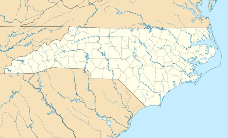
Map of Gulf, NC, USA
Gulf is an interconnection point between the Norfolk Southern Railway and the Aberdeen, Carolina and Western Railway.
Historic sites
The Haughton-McIver House and Marion Jasper Jordan Farm are listed on the National Register of Historic Places.
Geography
Gulf is located on the southern border of Chatham County, on the north side of Deep River. The Cape Fear River forms at the confluence of Deep River and the Haw River approximately 20 miles downstream of Gulf. Gulf is 16 miles (26 km) SE of Siler City and 8 miles (13 km) NW of Sanford. Pittsboro, the Chatham County seat, is 17 miles (27 km) to the northeast via the Pittsboro-Goldston Road.
According to the United States Census Bureau, the Gulf CDP has a total area of 0.92 square miles (2.39 km2), of which 0.01 square miles (0.03 km2), or 1.18%, is water.
Gulf is at the geographical center of North Carolina.