
Local time Saturday 3:48 PM | ||
 | ||
Weather 13°C, Wind S at 8 km/h, 77% Humidity Neighborhoods Moelygarth, Guilsford, Trefnant | ||
Guilsfield (Welsh: Cegidfa, "Hemlock-field") is a village and local government community in Powys, Wales. It lies beside Guilsfield Brook about three miles north of Welshpool. It is located on the B4392 road and a disused branch of the Montgomery Canal starts nearby. The community has an area of 30.01 km2 (11.59 sq mi) and had a population of 1,640 in 2001.
Contents
Map of Guilsfield, UK
Name
The Welsh name of the village was first recorded in the 12th century as Kegitua. The English name was first recorded in 1278 as "Guildesfelde". It may be named after a person (i.e., "Gyldi's field") or could mean "gold field".
History
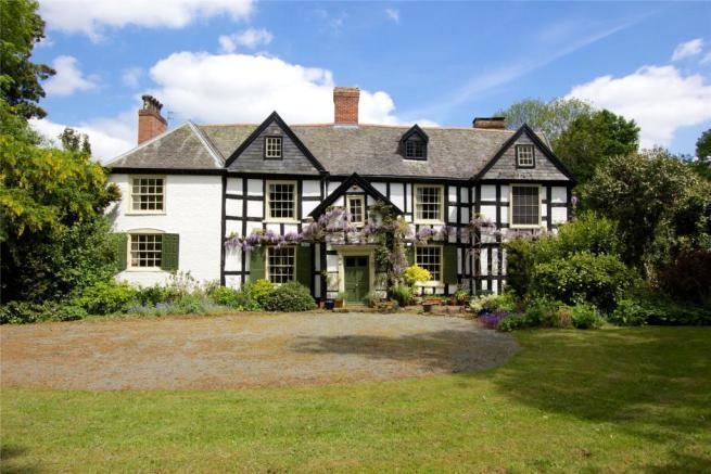
There are several large houses in the area including Maesmawr Hall which dates from 1692 and Trawscoed Hall from 1777. In 1862, a hoard of metalwork from the late Bronze Age was discovered near the village. It contained over 120 pieces such as swords, spearheads, and axes.
Church
The parish church is dedicated to Saint Aelhaiarn, but has sometimes been erroneously recorded as dedicated to Saint Giles, All Saints, and Saint Tysilio. The tower of the present church dates to about 1300. Although the feast of Saint Aelhaiarn is recorded as 2 November, his local fair was traditionally held six days later on the 8th.
Soccer
Guilsfield has a football team, Guilsfield F.C., which plays in the Cymru Alliance league.