
PIN 415703 Elevation 10 m Local time Saturday 6:30 PM | Time zone IST (UTC+5:30) Telephone code 02359 Population 3,205 (2001) Area code 02359 | |
 | ||
Weather 28°C, Wind NW at 14 km/h, 45% Humidity | ||
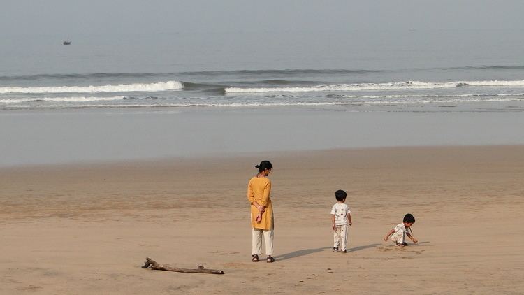
Guhagar beach tour
Guhagar is a census city in Ratnagiri district in the Indian state of Maharashtra. The guhagar is known for its virgin beach, coir items, coconuts, betel nuts and mainly Haapus Alphanso mangoes. The nearest city and railhead is Chiplun, about 44 kilometres (27 mi) away. The economy of Guhagar boomed after the Dabhol Power Company, a few kilometres north was commissioned in the early 1990s. Hotels sprung up and residents were given well-paid jobs.
Contents
Map of Guhagar, Maharashtra
Guhagar is famous for Durga Devi temple, Guhagar and Vyadeshwar temple.
Guhagar light house hd
Geography
A word Guhagar means cave house in local language Guhagar is located at 17.47°N 73.2°E / 17.47; 73.2. It has an average elevation of 10 metres (33 feet). Surrounded by an area called Kokan (A narrow strip of 720 Kilometer land running parallel to Arabian coast, only in the state of Maharashtra is called Kokan). Guhagar has been featured in several films, the recent one being the Marathi Film Killa (film)
Demographics
As of 2001 India census, Guhagar had a population of 3205. Males constitute 52% of the population and females 48%. Guhagar has an average literacy rate of 82%, higher than the national average of 59.5%: male literacy is 86%, and female literacy is 78%. In Guhagar, 10% of the population is under 6 years of age.