
Area 3,220 km² Capital Guerrero | Elevation 216 m (709 ft) Population 2,091 (2010) | |
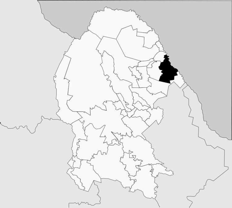 | ||
Guerrero is one of the 38 municipalities of Coahuila, in north-eastern Mexico. The municipal seat lies at Guerrero. The municipality covers an area of 3,219.7 km² and is located on the international border between Mexico and the USA, here formed by the Río Bravo del Norte (Rio Grande), adjacent to the U.S. state of Texas.
Contents
Map of Guerrero, Coahuila, Mexico
As of 2010, the municipality had a total population of 2,091.
Towns and villages
The largest localities (cities, towns, and villages) are:
Adjacent municipalities and counties
References
Guerrero Municipality, Coahuila Wikipedia(Text) CC BY-SA