
Population 28 (2009) | Elevation 20 m | |
 | ||
Weather 32°C, Wind E at 26 km/h, 13% Humidity | ||
Le360 ma exclusif le360 au coeur de guerguerat
Guerguerat (Arabic: گرگرات) is a small village in the far south west of Western Sahara, 11 km from the border with Mauritania and 5 km from the Atlantic Ocean. The village is under the control of Morocco. The Moroccan passport control stamp bears the name of Bir Gandouz, a nearby village. Morocco sees this frontier post as the southernmost barrier protecting the European Union.
Contents
- Le360 ma exclusif le360 au coeur de guerguerat
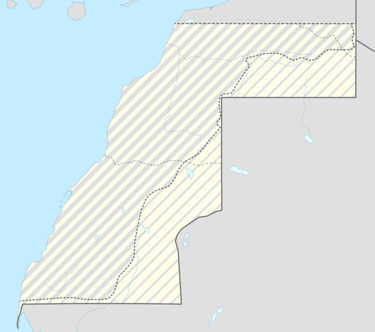
- Map of Guerguerat
- Maroc alg rie guerguerat viter le pi ge alg rien
- References
Map of Guerguerat
The area between the Moroccan frontier post and the Mauritanian frontier is seen by Morocco as a no man's land and by the Polisario as part of the RASD.
In January 2015, the Polisario established a military presence in Laguera on the seaside, but apparently did not yet start controlling passports of people transiting to Mauritania.
Maroc alg rie guerguerat viter le pi ge alg rien
References
Guerguerat Wikipedia(Text) CC BY-SA