
- elevation 3,500 m (11,483 ft) | - elevation 0 m (0 ft) | |
 | ||
- location Chingaza Natural National Park, Cundinamarca, Colombia | ||
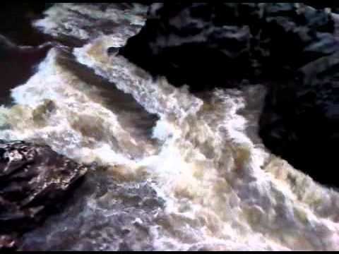
The Guatiquía River (Spanish: río Guatiquía) originates on the Chingaza páramo at 3,500 metres (11,500 ft), from its roots in the jurisdiction of the municipio of Quetame (departament of Cundinamarca, Colombia. Until it reaches the eastern plains or Llanos Orientales Colombianos, it forms a long and deep canyon for 137 kilometres (85 mi). The river splits in two arms taking the names of Río Negrito and Río Guayuriba. Both arms end in the Meta River.
Map of R%C3%ADo Guatiqu%C3%ADa, Meta, Colombia
References
Guatiquía River Wikipedia(Text) CC BY-SA