
Country Brazil State Paraná Time zone UTC-3 (UTC-3) Area 2,019 km² Population 7,890 (2008) | Region South Founded October 10, 1947 HDI (2000) 0.659 – medium Elevation 10 m Local time Saturday 5:12 AM | |
 | ||
Weather 26°C, Wind S at 8 km/h, 91% Humidity Points of interest Salto Morato Private Natural Heritage Reserve, Praia Deserta, Praia Superagui, Salto Morato | ||
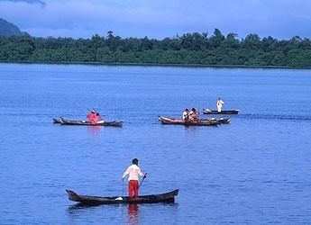
Guaraqueçaba is the easternmost municipality in the Brazilian state of Paraná, and one of the few coastal municipalities of the state. The short Ararapira River marks the border with São Paulo.
Contents
Map of Guaraque%C3%A7aba - Paran%C3%A1, Brazil
Conservation
The municipality contains the 819 hectares (2,020 acres) Salto Morato Private Natural Heritage Reserve, created in 1994. It contains the 400 hectares (990 acres) Sebuí Private Natural Heritage Reserve, created in 1999. It contains the Guaraqueçaba Ecological Station in the coastal mangrove area. It also holds 53% of the 34,179 hectares (84,460 acres) Bom Jesus Biological Reserve, a strictly protected conservation unit established in 2012.
References
Guaraqueçaba Wikipedia(Text) CC BY-SA