
Adjacent bodies of water Pacific ocean Width 8 km (5 mi)W-E | Length 16 km (9.9 mi)N-S Region Aisén | |
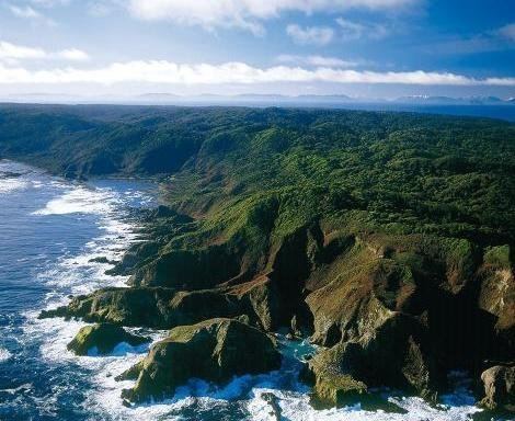 | ||
Guamblin Island, also known as Socorro Island, Nuestra Señora del Socorro or Huamblin, is a Chilean island. It is part of the Chonos Archipelago, although it is some 25 km distant from the other islands of the archipelago, far out in the Pacific Ocean.
Contents
Map of Guamblin Island, Cisnes, XI Regi%C3%B3n, Chile
The island is a National Park, and an Important Bird Area. It is a breeding ground of the sooty shearwater.
Oil spill
In June 1973, the Liberian oil tanker Napier ran aground at the island and sparked off an oil spill (30,000 t of oil were released). After the rescue of the crew, she was fired upon and set on fire by Chilean Hawker Hunters in order to burn the oil and avoid further pollution.
References
Guamblin Island Wikipedia(Text) CC BY-SA