Canton Croisilles Local time Sunday 9:32 AM | Area 4.52 km² | |
 | ||
Intercommunality Communauté de communes du Sud Arrageois Weather 9°C, Wind S at 8 km/h, 73% Humidity | ||
Guémappe is a commune in the Pas-de-Calais department in the Hauts-de-France region of France.
Contents
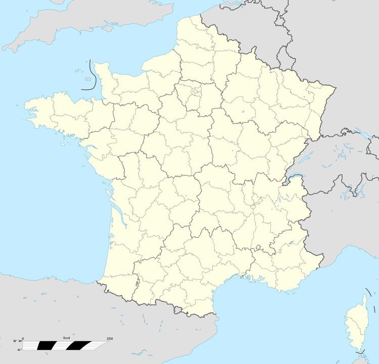
Map of Gu%C3%A9mappe, France
Geography
A small farming village situated 8 miles (13 km) southeast of Arras, at the junction of the D34 and the D38 roads.
History
First noted as Gammapium in 1135. The seigneurie belonged to that of the Montmorency family at Wancourt. The village was the scene of heavy fighting in April 1917 and August 1918, during the First World War.
Places of interest
References
Guémappe Wikipedia(Text) CC BY-SA
