
Country Venezuela Time zone UTC-04:30 | Created 1811 Area rank 4th | |
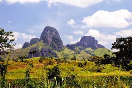 | ||
University Universidad de Los Llanos Centrales Rómulo Gallegos Points of interest INPARQUES (MONUMENTO ARISTID, Plaza Cruz del Perdón, Puesto De Guarda Parques, Cerro El Platillon, Hacienda La Elvira Destinations | ||
Estado gu rico libro visita cada rinc n de venezuela
Guárico State (Spanish: Estado Guárico, [esˈtaðo ˈɣwaɾiko]) is one of the 23 states of Venezuela. The state capital is San Juan de Los Morros. Guárico State covers a total surface area of 64 986 km² and, in 2011, had a census population of 747,739. It is named for the Guárico River.
Contents
- Estado gu rico libro visita cada rinc n de venezuela
- Map of GuC3A1rico Venezuela
- History
- Municipalities and municipal seats
- Race and ethnicity
- References
Map of Gu%C3%A1rico, Venezuela
History
During colonial Venezuela, the territory of Guárico State was part of the Venezuela Province. Guárico Province was created as a province of Venezuela in 1848 by decree of President José Tadeo Monagas, and following the Federal War, Guárico State was created as a state of Venezuela in 1864. In the late nineteenth century (from 1881) it was involved in a series of re-arrangements of Venezuelan states, eventually re-emerging as an independent state in 1899. Its first capital was Calabozo (until October 1874), its second Ortiz (until 1934), when the capital was moved to San Juan de los Morros.
Municipalities and municipal seats
- Camaguán
- Chaguaramas
- El Socorro
- Francisco de Miranda (Calabozo)
- José Félix Ribas (Tucupido)
- José Tadeo Monagas
- San Juan de los Morros
- Julián Mellado (El Sombrero)
- Las Mercedes
- Valle de la Pascua
- Ortiz
- Pedro Zaraza
- San Gerónimo de Guayabal (Guayabal)
- San José de Guaribe (San José de Guaribe)
- Santa María de Ipire (Santa María de Ipire)
Race and ethnicity
According to the 2011 Census, the racial composition of the population was: