
Time zone EST (UTC-5) Climate Aw Area 1,847 km² | Established 1924 Area code(s) +53-322 Elevation 80 m Local time Sunday 4:27 AM | |
 | ||
Weather 21°C, Wind NE at 8 km/h, 87% Humidity | ||
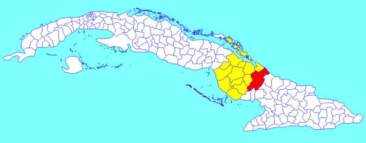
Guáimaro is a town and municipality in the southern part of Camagüey Province in Cuba. It is located between the cities of Camagüey and Las Tunas.
Contents
Map of Gu%C3%A1imaro, Cuba
History
Guáimaro features prominently in Cuban history as the place where in 1869 the Revolutionary Army of Mambises met and created the Constitution for a new nation free from Spanish colonial oppression. The municipality was created in 1943, when it split from Camagüey.
Geography
The municipality is divided into the barrios of Camaniguán, Elia, Galbis, Guáimaro, Palo Seco, Pilar and Tetuán.
Demographics
In 2004, the municipality of Guáimaro had a population of 57,086. With a total area of 1,847 km2 (713 sq mi), it has a population density of 30.9/km2 (80/sq mi).
References
Guáimaro Wikipedia(Text) CC BY-SA