
Population 696 (2006 census) LGA(s) Shire of Yarra Ranges Postal code 3770 | Postcode(s) 3770 Elevation 174 m Local time Saturday 12:59 PM | |
 | ||
Weather 26°C, Wind W at 10 km/h, 49% Humidity Points of interest Yarra River, Yarra Yering Vineyards, Soumah of Yarra Valley, Medhurst Wines, Helen & Joey Estate | ||
Gruyere is a town in Victoria, Australia, 43 km north-east from Melbourne's central business district. Its local government area is the Shire of Yarra Ranges. At the 2006 Census, Gruyere had a population of 696.
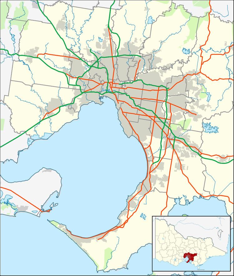
Map of Gruyere VIC 3770, Australia
The suburb is often referred to as the 'Toorak of the Yarra Valley' as it is the choice location for wealthier retirees. Gruyere has a strong farming / agricultural roots with many local farmers with a variety of products such as apples, pears and cattle.
The town is named for a variety of cheese, as the area's history is in the dairy industry. Cahillton Post Office first opened on 20 August 1892. It was renamed Gruyere in 1950 and closed in 1960.
Many argue that the name of the area and subsequently, the town, is actually "Warramate", in reference to the Warramate Hills.
It is a small town area on Killara Road contains a recreation reserve, community hall, primary school and CFA fire station. Several wineries, including Coldstream Hills Winery, Warramate Wines and Yarra Yering, are located within Gruyere.