
Population 1,922 (2006 census) LGA(s) Shire of Yarra Ranges Badger Creek Healesville Postal code 3777 | Postcode(s) 3777 Elevation 210 m Local time Tuesday 4:38 PM | |
 | ||
Location 53 km (33 mi) from Melbourne4 km (2 mi) from Healesville Weather 31°C, Wind S at 11 km/h, 31% Humidity | ||
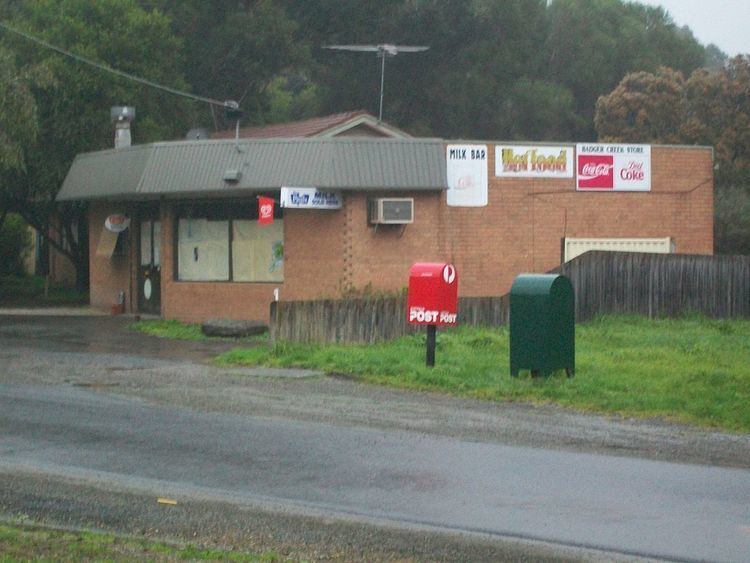
Badger Creek is a town in Victoria, Australia, 53 km north-east from Melbourne's central business district. Its local government area is the Shire of Yarra Ranges. At the 2011 census, Badger Creek had a population of 1,922.
Contents
Map of Badger Creek VIC 3777, Australia
Badger Creek is near the Healesville Sanctuary and the former Coranderrk Aboriginal Station, now known as the Coranderrk Bushland.
History
The creek was named after the wombats in the area which were often called badgers.
Badger Creek was surveyed as a township in 1894, but was not settled to any extent until some time later. The Coranderrk school opened in 1890, being replaced by the Badger Creek school in 1899. The Post Office opened around 1902 as Badger Creek State School, was renamed Badger Creek around 1907 and closed in 1930.
The weir in the Badger Creek reserve was constructed in 1909 and feeds water to the Silvan Reservoir.