
Area rank 131 in Norway Area 837 km² Local time Saturday 1:27 AM | County Hedmark Demonym(s) Grusokning Population 5,312 (2004) | |
 | ||
Weather -6°C, Wind W at 2 km/h, 95% Humidity | ||
Grue is a municipality in Hedmark county, Norway. It is part of the traditional region of Solør. The administrative centre of the municipality is the village of Kirkenær (population: 1200).
Contents
Map of Grue, Norway
The municipality of Grue was established on 1 January 1838 (see formannskapsdistrikt). The area of Brandval was separated from the municipality of Grue in 1867 to become a municipality of its own.
Name
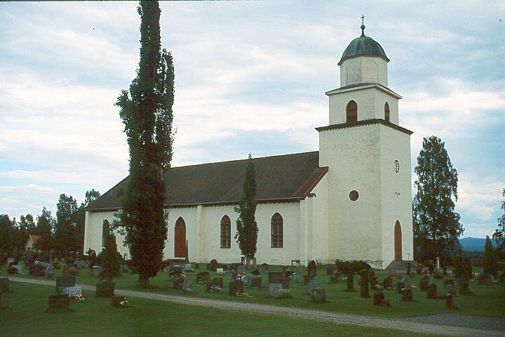
The municipality (originally the parish) is named after the old Grue farm (Old Norse: Grof(a)), since the first church was built there. The name is identical with the word grof(a) which means "depression" or "hollow".
Coat-of-arms
The coat-of-arms is from modern times. It was granted on 30 October 1992 and designed by Harald Hallstensen. The arms are described as "left tilted dividing by silver and green, the dividing line is a curved wolf tooth pattern. The flame-like line represents the clearance of farms in the woods by the use of fire and is also a remembrance of the gruesome church fire of 1822. The colors symbolize the forests and the Glomma river.
Geography
Grue is situated around the Glomma river and the geography is dominated largely by forests and some agricultural areas around Glomma. Grue is located in the southeast part of Hedmark county. It is bordered on the south by the municipality of Kongsvinger, on the north by the municipality of Åsnes, and on the west by Nord-Odal. To the east it borders Sweden.
Grue was the early center for the Finnish migration which today populates the Finnskogen, a belt about 32 kilometres (20 mi) wide and running continuously along the frontier in the districts of Brandval, Grue, Hof, Åsnes, and Våler. Their first population center in Norway was located around the lake of Røgden.
The Løvhaugsåa runs through the area.