
Area 20 km² | ||
 | ||
Location Sogn og Fjordane, Norway | ||
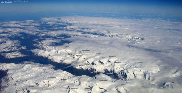
The Grovabreen glacier is located in Sogn og Fjordane county, Norway. It covers an area of about 20 square kilometres (7.7 sq mi) in the municipalities of Førde and Jølster in the Sunnfjord region. The highest point on the glacier sits at an elevation of 1,636 metres (5,367 ft) above sea level. The glacier is part of Jostedalsbreen National Park, just south of the lake Jølstravatnet. The village of Skei lies about 8 kilometres (5.0 mi) north of the glacier and the village of Haukedalen lies about 9 kilometres (5.6 mi) southwest of the glacier. The Jostefonn glacier lies about 5 kilometres (3.1 mi) to the south of this glacier; both are located at the north end of the Gaularfjellet mountains.
Map of Grovabreen, Norway
References
Grovabreen Wikipedia(Text) CC BY-SA