
Country United States Founded by Benjamin F. Cook Elevation 1,625 m Local time Friday 2:55 PM | Settled 1876 Time zone Mountain (MST) (UTC-7) Zip code 84313 Named for Centrocercus | |
 | ||
Weather 9°C, Wind NW at 14 km/h, 69% Humidity | ||
Grouse creek utah abandoned house surreal
Grouse Creek (also Cookesville) is an unincorporated community in the nearly unpopulated northwestern region of Box Elder County, Utah, United States, near the Idaho and Nevada borders. It lies along unpaved roads north of State Route 30 in the Grouse Creek Mountains. Its elevation is 5,331 feet (1,625 m). Although it is unincorporated, it has a post office, with the ZIP code of 84313.
Contents
- Grouse creek utah abandoned house surreal
- Map of Grouse Creek UT 84313 USA
- Grouse creek utah
- Climate
- References
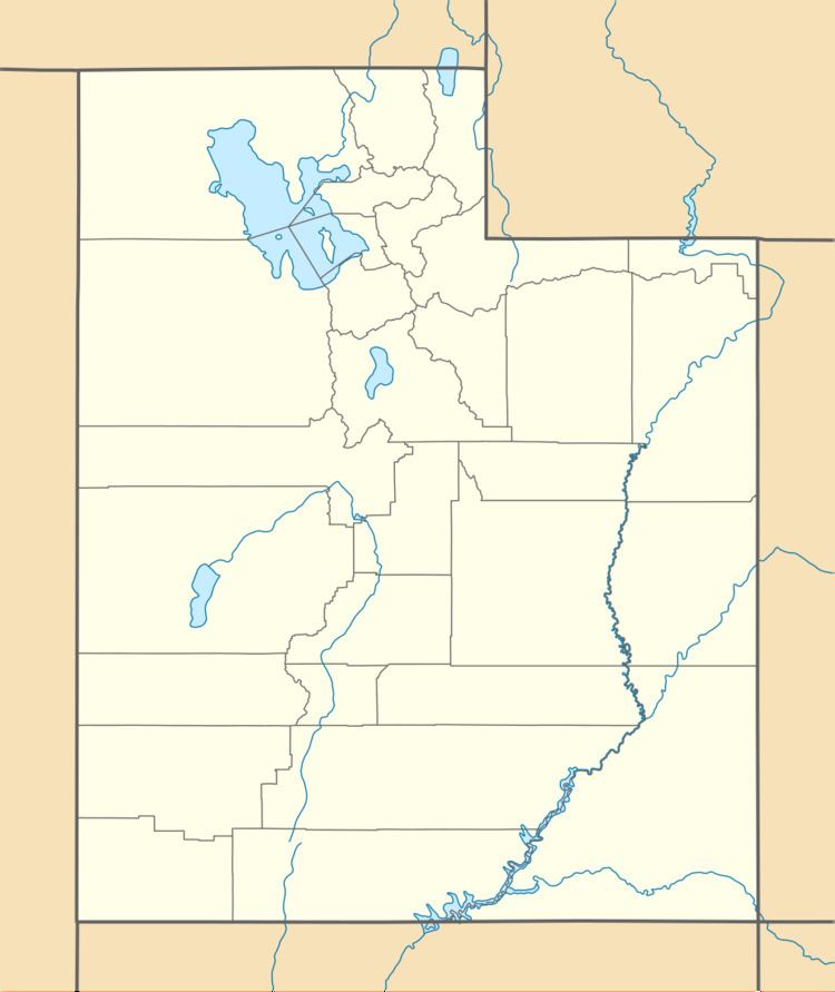
Map of Grouse Creek, UT 84313, USA
Grouse Creek was first settled in 1876.
Grouse creek utah
Climate
According to the Köppen Climate Classification system, Grouse Creek has a semi-arid climate, abbreviated "BSk" on climate maps.
References
Grouse Creek, Utah Wikipedia(Text) CC BY-SA