
Intercommunality Trois Provinces Area 15.75 km² Population 238 (1999) | Canton Sancoins Time zone CET (UTC+1) Local time Friday 8:29 PM | |
 | ||
Weather 11°C, Wind NE at 8 km/h, 71% Humidity | ||
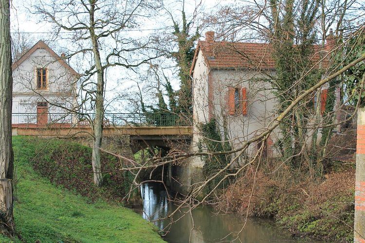
Grossouvre is a commune in the Cher department in the Centre region of France.
Contents
Map of 18600 Grossouvre, France
Geography
A village of farming, forestry and a little light industry situated by the banks of both the Aubois river and the canal de Berry some 23 miles (37 km) southeast of Bourges at the junction of the D76, D78 and the D920 roads.
The valley is situated on the crossroads of three ancient provinces: Nivernais to the east, le Bourbonnais to the south, and Berry and is on the edge of the departements of Nièvre and Allier. Though rural today and suffering from rural depopulation-in the Middle Ages it had all the natural resources to make it a centre of metallurgy (iron and steel production) and extractive industries (sand, chalk and clay for bricks and tiles).
Sights
References
Grossouvre Wikipedia(Text) CC BY-SA