
Sovereign state United Kingdom Local time Friday 5:26 PM UK parliament constituency Cynon Valley | Country Wales | |
 | ||
Weather 12°C, Wind S at 13 km/h, 80% Humidity | ||
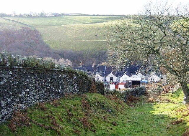
Groes-faen is a village approximately three miles south of Llantrisant in the county borough of Rhondda Cynon Taf, Wales.
Contents
Map of Groes-faen, Pontyclun, UK
The village was originated as a hamlet in the 1860s near a trade route from Cowbridge to Cardiff.
History
The opening of the Bute & Mwyndy iron ore works during the 1850s had a huge impact on the small hamlet of Groes Faen. The census of 1861 shows that Groes Faen had become a village. Its population was now 83 people divided in 17 households, of these 83 residents 17 were iron ore miners, meaning that on average each household had 4.9 residents with one being an iron ore miner. The village centre was the pub The Dynefor Arms, and the cottages surrounding it.
In the seventies, a nearby quarry was used as a dump for chemicals. In 2007 research began to assess the potential environmental impact of seepage from the Quarry. The Environment Agency summary is at: Monsanto used the quarry for the disposal of PCBs.