
District Bautzen Elevation 241 m (791 ft) Area 16.42 km² Postal code 02692 Dialling code 035938 | Municipal assoc. Großpostwitz-Obergurig Time zone CET/CEST (UTC+1/+2) Local time Saturday 1:01 AM Population 2,957 (31 Dec 2008) | |
 | ||
Weather 3°C, Wind W at 5 km/h, 89% Humidity | ||
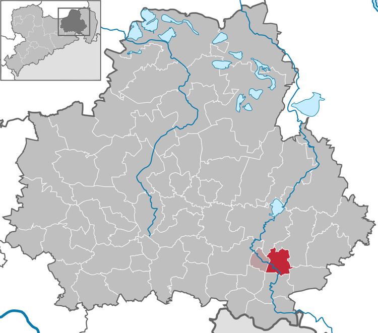
Großpostwitz (Sorbian Budestecy) is a municipality in the east of Saxony, Germany. It belongs to the district of Bautzen and lies south of the eponymous city.
Contents
Map of Gro%C3%9Fpostwitz, Germany
The municipality except Eulowitz is part of the recognized Sorbian settlement area in Saxony. Upper Sorbian has an official status next to German, all villages bear names in both languages.
Geography
The municipality is situated at the northern edge of the Lausitzer Bergland (Lusatian Hills) along the Spree. The Bundesstraße 96 passes Großpostwitz.
Villages
Several villages belong to the municipality:
History
Within the German Empire (1871-1918), Großpostwitz was part of the Kingdom of Saxony.
References
Großpostwitz Wikipedia(Text) CC BY-SA