
Country Germany Time zone CET/CEST (UTC+1/+2) Area 51.89 km² Local time Saturday 12:32 AM Dialling code 033701 | Elevation 42 m (138 ft) Postal codes 14979 Population 7,335 (31 Dec 2008) Postal code 14979 | |
 | ||
Weather 6°C, Wind W at 11 km/h, 76% Humidity | ||
Großbeeren is a municipality in the district of Teltow-Fläming in the German state of Brandenburg.
Contents
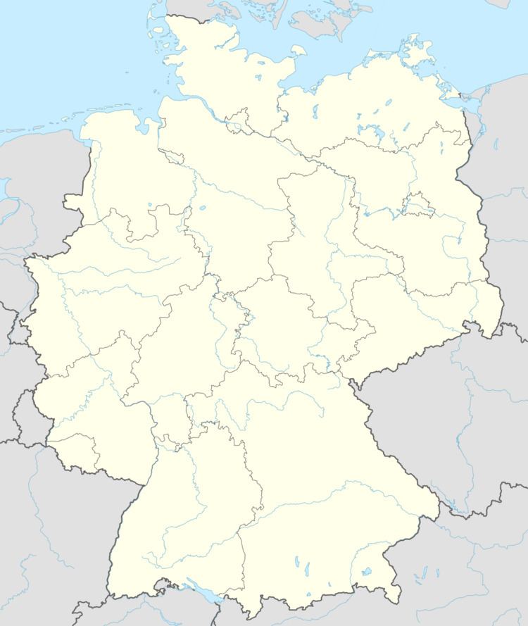
Map of Grossbeeren, Germany
Geography
Located about 3 km south of Berlin's city limits. It includes the localities of Diedersdorf, Heinersdorf and Kleinbeeren.
History
Großbeeren was first mentioned in a 1271 deed. It was devastated in the Thirty Years' War and again in 1760, when Russian and Habsburg troops in the course of the Seven Years' War burnt down the church and several houses.
On 23 August 1813 the Sixth Coalition under Crown Prince Charles John of Sweden and General Friedrich Wilhelm Freiherr von Bülow defeated three corps of the Imperial French Army under Marshal Nicolas Oudinot in their advance on Berlin at the Battle of Großbeeren. A memorial tower in the village centre was erected on the hundredth anniversary in 1913. Furthermore, a fieldstone pyramid from 1906 on a pasture west of Großbeeren is dedicated to General von Bülow.
In September 1942 the Gestapo established a labour camp in Großbeeren, where at least 1197 forced labourers from Belgium, Czechoslovakia, France, Poland, Nazi Germany and the Soviet Union were killed. Werner Seelenbinder was imprisoned here in 1943.
Großbeeren shared its borders with the former West Berlin, and so during the period 1961-1990 it was separated from it by the Berlin Wall.
The municipality houses the Institute of Vegetable and Ornamental Crops (IGZ) of the Gottfried Wilhelm Leibniz Scientific Community.
Transportation
Großbeeren can be reached via the Bundesstraße 101 federal highway. It has also access to the Berlin-Halle railway line. A large logistics complex serves for storage and distribution of goods addresses to Berlin.