Time zone CET/CEST (UTC+1/+2) Area 248.8 km² Local time Saturday 12:24 AM | Elevation 60 m (200 ft) Postal codes 16928; 19348 Population 4,243 (31 Dec 2008) Dialling code 033983 | |
 | ||
Weather 3°C, Wind W at 8 km/h, 88% Humidity | ||
Groß Pankow (Prignitz) is a municipality in Prignitz district, Brandenburg, Germany. The municipality was formed in 2001 from the union of municipalities of the former Amt of Groß Pankow/Prignitz and some in Amt Pritzwalk-Land. Amt Groß Pankow/Prignitz was then dissolved.
Contents
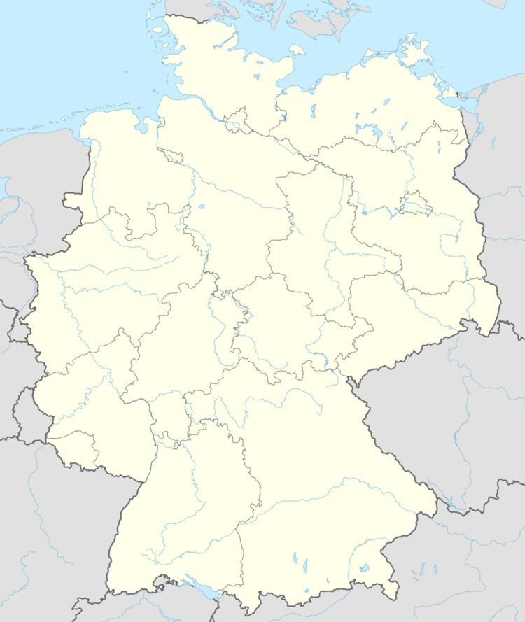
Map of Gro%C3%9F Pankow, Germany
Groß Pankow is connected via German Federal Highway B 189 to the cities of Pritzwalk, Perleberg, Wittenberge and Magdeburg.
Geography
The municipality has 39 villages in 18 districts with the populations given in parentheses (As of March 1, 2010)
References
Groß Pankow (Prignitz) Wikipedia(Text) CC BY-SA
