
 | ||
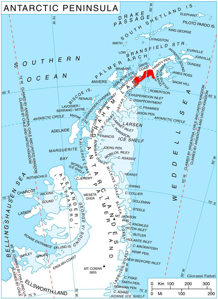
Grivitsa Ridge (Bulgarian: Гривишки хребет, ‘Grivishki Hrebet’ \'gri-vish-ki 'hre-bet) is the mostly ice-free ridge extending 6.4 km in northwest-southeast direction, 3 km wide and rising to 1100 m (Batkun Peak) on Nordenskjöld Coast in Graham Land, Antarctica. It is bounded by Darvari Glacier to the north and Zaychar Glacier to the south, and linked to Detroit Plateau to the northwest.
Contents
The ridge is named after the settlement of Grivitsa in Northern Bulgaria.
Location
Grivitsa Ridge is centred at 64°30′16″S 60°19′38″W. British mapping in 1978.
Map
References
Grivitsa Ridge Wikipedia(Text) CC BY-SA